
Topography
The coast.
Much of the coastal littoral is narrow, (Pic. 2) bordered by the escarpment of the Serra do Mar which in places extends out into the sea as islands such as Ilha São Sebastião and the islands in the Bahia Isla Grande. However there are also extensive areas of flat topography including barrier islands across the eastern part of the Bahia Isla Grande south of Angra dos Reis and the lower Ribeira valley and the Ilha Comprida in the south.
The Serra do Mar.
The highest portions of the Serra do Mar occur in the northern portion of the region where, west of Rio de Janeiro, the mountains of the Serra Bocaina just reach altitudes of over 2000 meters (Pic. 3). The mountains follow the coast soutwards with a steep escarpment on the coastal side with elevations well over 1000 meters, and a shallow dip on the inland side to the Paraiba valley. South of Santos the elevations are lower with only isolated mountains over 1000 meters. The only river that actually breaks these mountains is the Ribeira in the south.
The Ribeira and Paraiba valleys.
The upper portions of both these rivers flow in valleys formed by faulting between the coastal and inland mountain ranges and are relatively flat and suitable for farming and cultivation. The Paraiba river rises in the Serra do Mar and flows first to the west, then to the east, reaching the sea far to the east. The Ribeira river drains the southern slopes of the Serra de Paranapiacaba.
The inland Serras.
The highest altitudes of the region (2800 meters) are found in the Serra da Mantiqueira (Pic. 4) which runs from west to east and extends, again steeply, up from the Paraiba valley. To the west this range peters out on the Altiplano in the vicinity of São Paulo before re-emerging as the Serra de Paranapiacaba. Extending in a south-westerly direction along the Serra de Paranapiacaba elevations are lower but still over 1000 meters with much broken terrain.
The Parana Altiplano
extends as far south as the region around São Paulo at 740 meters and, from there, west and north, the terrain becoming progressively flatter (Pic. 5). This region constitutes the upper drainage of the Tiete and Paranapiacaba rivers both of which ultimately flow into the Parana river far to the west.
Images and recordings on this page
-
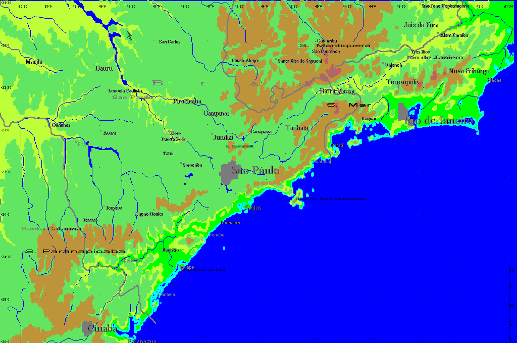
Area Map -
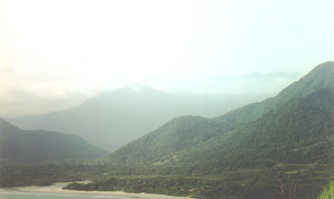
Atlantic forest. Jureia. -
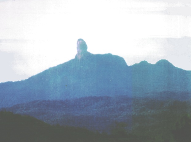
The Serra Bocaina. Taken from near Bananal(town). -
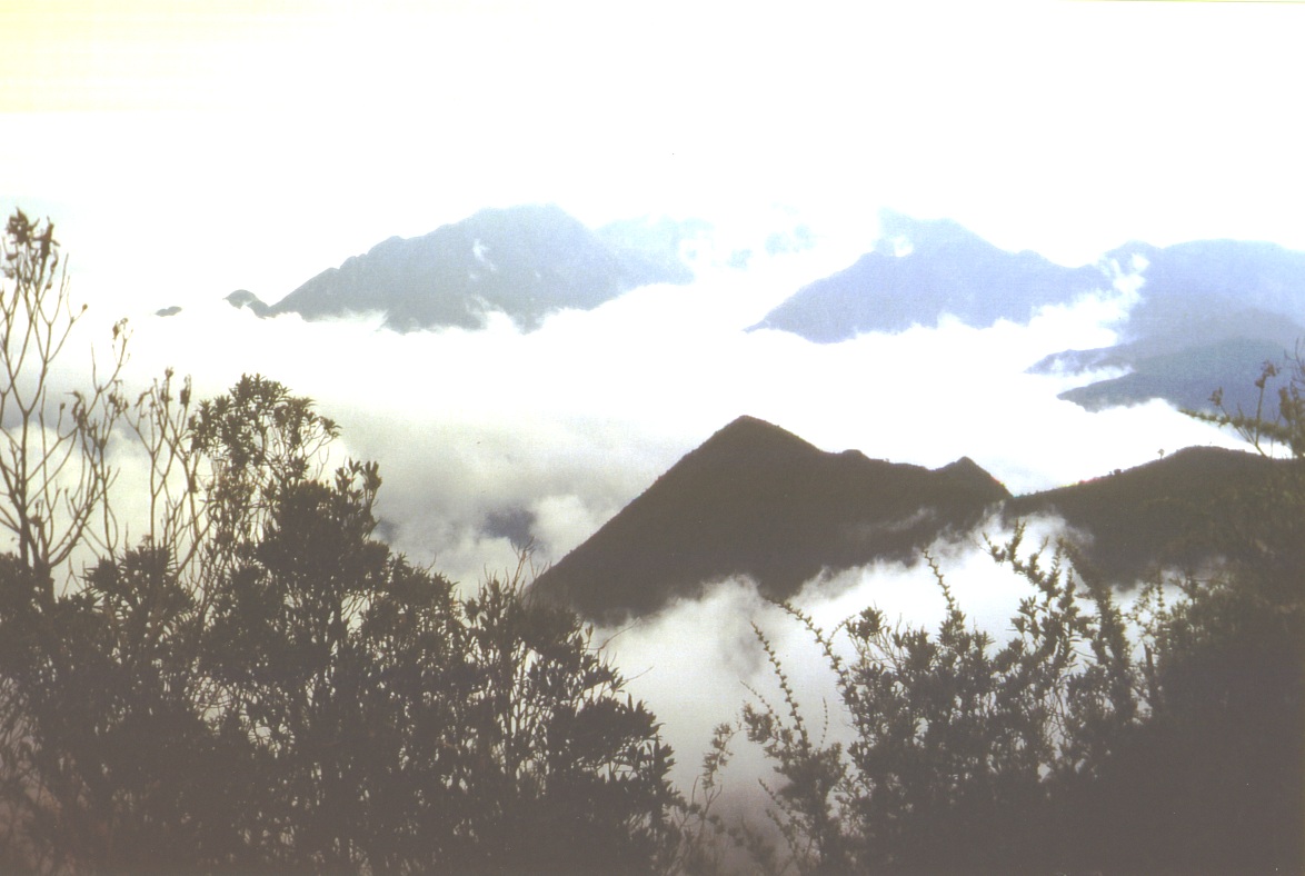
Serra da Mantiqueira from Agulhas Negras road -
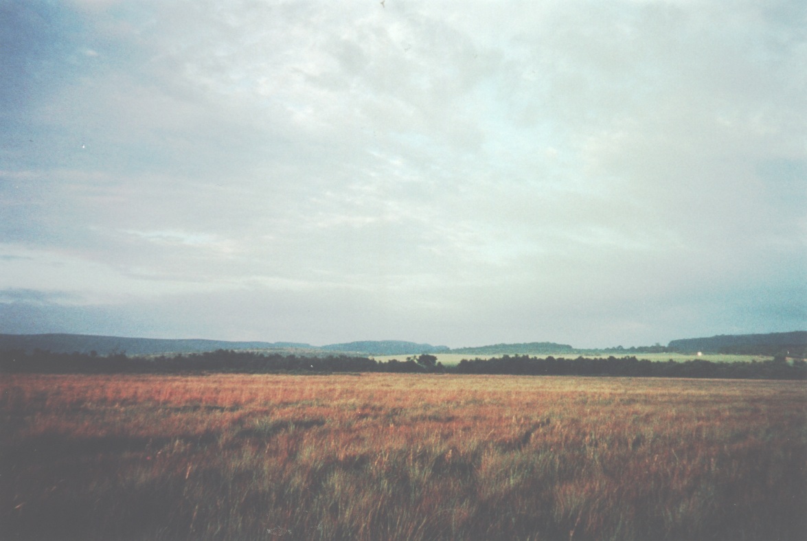
Campos near Itirapina.
-
Morning chorus at Fazenda Intervales 11/30/97. Sunny, 27°C. With Habia rubica, Chamaeza campanisoma, Chamaeza meruloides, Basileuterus culicivorus, Pyriglena leucoptera, Trogon viridis, Brotogeris tirica, Biatas nigropectus, Anabazenops fuscus, Grallaria varia, Cacicus haemorrhous, Trogon surrucura, Turdus rufiventris.
Where these come from
The work names each item by a file stem in its own caption records. The captions above are those records with the stem and its separators removed; where an item sat on the original page was not recorded and is not guessed.
- c05da526 original-cd/CD01/SEBrazil/PICTURE/C05DA526.BMP
- A48 original-cd/CD01/SEBrazil/PICTURE/A48.JPG
- bcn original-cd/CD01/SEBrazil/PICTURE/bcn.jpg
- A15 original-cd/CD01/SEBrazil/PICTURE/A15.JPG
- A43 original-cd/CD01/SEBrazil/PICTURE/A43.JPG
- Mc2 original-cd/CD01/SEBrazil/WAV/MC2.WAV
This page on the other discs
Disc 2 · 2001
Topography · page 4 of that disc
The coast.
Much of the coastal littoral is narrow, (Pic. 2) bordered by the escarpment of the Serra do Mar which in places extends out into the sea as islands such as Ilha São Sebastião and the islands in the Bahia Isla Grande. However there are also extensive areas of flat topography including barrier islands across the eastern part of the Bahia Isla Grande south of Angra dos Reis and the lower Ribeira valley and the Ilha Comprida in the south.
The Serra do Mar.
The highest portions of the Serra do Mar occur in the northern portion of the region where, west of Rio de Janeiro, the mountains of the Serra Bocaina just reach altitudes of over 2000 meters (Pic. 3). The mountains follow the coast southwards with a steep escarpment on the coastal side with elevations well over 1000 meters, and a shallow dip on the inland side to the Paraiba valley. South of Santos the elevations are lower with only isolated mountains over 1000 meters. The only river that actually breaks these mountains is the Ribeira in the south.
The Ribeira and Paraiba valleys.
The upper portions of both these rivers flow in valleys formed by faulting between the coastal and inland mountain ranges and are relatively flat and suitable for farming and cultivation. The Paraiba river rises in the Serra do Mar and flows first to the west, then to the east, reaching the sea far to the east. The Ribeira river drains the southern slopes of the Serra de Paranapiacaba.
The inland Serras.
The highest altitudes of the region (2800 meters) are found in the Serra da Mantiqueira (Pic. 4) which runs from west to east and extends, again steeply, up from the Paraiba valley. To the west this range peters out on the Altiplano in the vicinity of São Paulo before re-emerging as the Serra de Paranapiacaba. Extending in a south-westerly direction along the Serra de Paranapiacaba elevations are lower but still over 1000 meters with much broken terrain.
The Parana Altiplano
extends as far south as the region around São Paulo at 740 meters and, from there, west and north, the terrain becoming progressively flatter (Pic. 5). This region constitutes the upper drainage of the Tiete and Paranapiacaba rivers both of which ultimately flow into the Parana river far to the west.
Disc 3 · 2006
This disc carries the same wording as shown above.
Source details
- Release
- Disc 1 · 2011
- Recovered title
- Topography
- Source location
- original-cd/CD01/SEBrazil/DOCS/Discussn.dat:record=4,offset=256; original-cd/CD01/SEBrazil/DOCS/Sebrazil.dfd:nul_segments=27-34
- Decoded text
- recovered-front-matter-release-aware-v0.1/releases/CD01/INTRODUCTION_TEXT/04.txt
- Page boundaries
- derived from the accepted CD03 boundaries by index-title correspondence plus mechanical segment-stream alignment (CD03 136 segments -> CD01 131 segments); closed by contiguity. This is a provisional sequence: the pages are numbered and titled exactly as the disc's own index records them, but the division of the running text into pages is inferred by this project from the ordered content. The original program's page-link bytes were never decoded, so this is the best-supported order available, not a proven reproduction of the original page flow.
- Text status
- Decoded from the preserved bytes: each byte is one CP1252 character, code point = byte + 31. The work's own markup (font and colour changes, line breaks, scientific-name markers, reference citations) is rendered rather than shown as codes. No spelling, punctuation or typography has been changed.
- Encoding record
- front-matter-encoding-recovery-v0.1