
Places
The work's own maps
5 base-map images preserved from the discs. They are published as pictures, which is what they are.
Not georeferenced
None of these images has been aligned to modern coordinates, calibrated, or used as a base map. Nothing is plotted on any of them. They are shown for what the author drew and published, not as a source of positions.
-
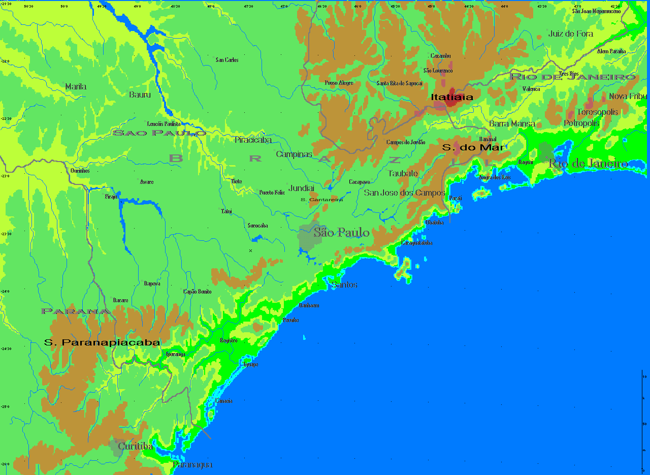
Historical base-map asset 1
1280×935 px · 16-bit · BI_RGB -
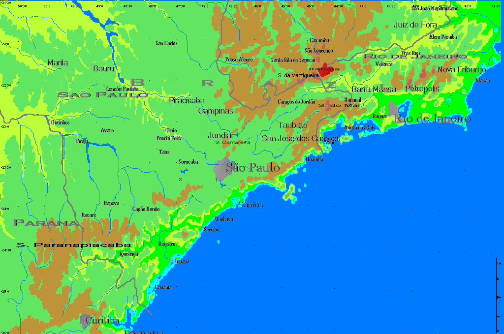
Historical base-map asset 2
1024×679 px · 16-bit · BI_RGB -
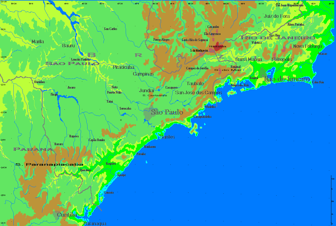
Historical base-map asset 3
1152×775 px · 16-bit · BI_RGB -
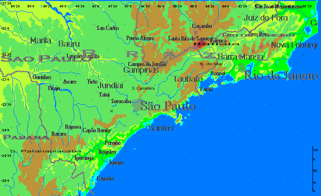
Historical base-map asset 4
640×391 px · 16-bit · BI_RGB -
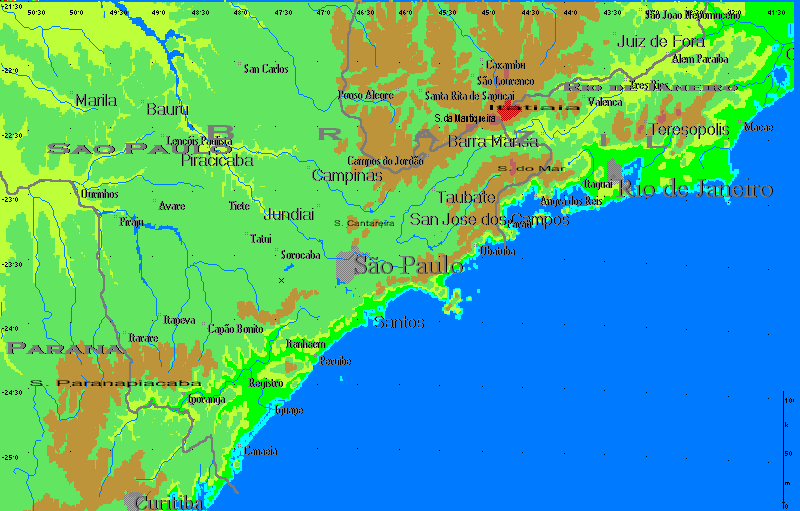
Historical base-map asset 5
800×511 px · 16-bit · BI_RGB
The introduction's own map of the area covered appears on Area Covered.